

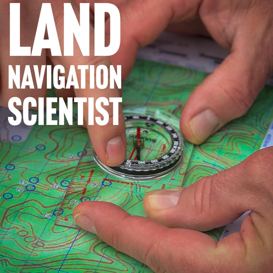
Land Navigation Scientist
Scientist (one definition) = someone who systematically gathers and uses research and evidence, to make hypotheses and test them, to gain and share understanding and knowledge.

Humble, quiet, servant’s heart are all words I would use to describe my friend,and fellow NRS instructor Tracy Trimble. I would also lovingly say he is, well, very detail-oriented. Each of these reasons, and many more, are why I love (philos) him dearly. One of the things that he has helped many students with, including me personally, is the ability to navigate safely and efficiently in a wilderness setting. On my morning ruck this morning, when I was practicing some of the nav craft he has taught me, it hit me that I think of Tracy as a Land Navigation scientist.
When I set out to write Essential Wilderness Navigation (EWN), I asked him to co-author it with me because I knew that without him it would be an OK book, but with him, it would be a great book. To that end I was right. EWN continues to do incredibly well, by helping people to safely guide themselves in the outdoors. Let me explain how all this relates to Tracy being a scientist. It is sort of a history of how our Land Navigation coursework evolved at Nature Reliance School.
Tracy’s background was one much like my own, playing and exploring the hills of Kentucky. Where Tracy and I differ is that he joined the US military and I did not. It was there that he got started on the road of a serious understanding of Land Navigation.
I spent most of my life not really knowing how to use a compass. I did use heavy amounts of map and terrain association usually orienting the map with the land before I went out. I usually did this by using a notable land feature and trail or road. Here is how Tracy helped me develop my limited navigation skills.
It all actually started when I taught I course alongside another gentleman many, many years ago. The other instructor taught the map and compass portion of class. To say his skill was lacking was an understatement. Tracy was a student in that class and as I stated earlier, stayed quiet and humble. It was later he approached me to do some Land Nav.
We used to set up small land nav courses for each other in various parks in or around our hometowns and then leave out pertinent information and have the other person figure it out. Tracy did this numerous times with me and I was able to learn how to take azimuths, back-azimuths, develop a pace count, learn how to utilize declination, and all the more refined aspects of land navigation with Tracy remotely looking over my shoulder. It was definitely some dang-fine learning that is for sure. As they say, iron sharpens iron. Tracy was definitely sharpening me.
During this time Tracy kept talking about this concept that he had stewing in his brain called the Lost Man Exercise. He, being a professional, wanted to test himself.
As an aside, the concept of practicing, training, and testing is an important one to understand the distinctions. We actually did a podcast on this topic. You should listen in on that.
With that said, what we finally decided to do was to blindfold Tracy and drive him to an unknown location in the Daniel Boone National Forest (DBNF). Walk him out into the forest (still blindfolded) and then he had to use his map and compass to discover his location and then navigate us out.
For those that may not be familiar with the hills of Kentucky let me assure you that when the leaves are on, and you are in the middle of a forest, they all sort look very similar. Tracy had told me very distinctly to not make it easy on him and being the good friend that I am, I did what he told me to do. I nearly took him straight down a hill and into what seemed like a bottomless hollow (holler for you KY folk). It was only once we hit the bottom and after I accidentally stepped on a copperhead that Tracy took the blindfold off. This is where Tracy, in my mind really showed his true abilities as a Land Navigation scientist. What is really cool about it, is that I filmed the whole thing. Now keep in mind this is about 7 or so years ago and my video skills left a lot to be desired, but, the information that is captured here is pure gold. Watch the video and see how Tracy works through the process of being completely lost and then finding himself in the woods. If you want a little help then view the timeline below the video for some highlights.
- 00:10 – Intro and description of the setup
- 01:04 – Safety discussion on backup in case things go wrong
- 01:55 – Tracy’s first thoughts after taking blindfold off
- 03:08 – Discussion of the time limit and other aspects of the test
- 03:33 – Tracy get his dig in on Craig’s driving, nothing new there.
- 03:35 – Tracy applies STOPA and how it effected him in this exercise
- 04:27 – Tracy discusses how to use his ears for land navigation and finding yourself (very insightful)
- 05:16 – Tracy shares his first thoughts on where he might be showing us the map
- 05:57 – considering it from a survivalist standpoint, how Tracy would use a map and compass and a “catch features” to get himself found. If you don’t know what that is pick up our book 😊
- 07:15 – the scientist does his thing and determines that he is possibly in one of three locations on the map. Good side comments on mindset here as well. Keep in mind that the areas you are looking at on the map consists of several thousand acres.
- 09:27 – Tracy discusses some problems that occur with navigation with heavy tree canopy and some ways to overcome it.
- 10:55 – Great way to use a bandana for Land Navigation
- 14:10 – Tracy discusses distance, pace count and how valuable it is for navigation. He shows you how to use it in the real world.
- 15:30 – How Tracy disproves his possible location which allows him to find where is on the map.
As you can see in the timeline of events Tracy found himself around 15 minutes into the exercise BUT that was with him stopping and teaching us on video along the way. I estimate that without interruption that Tracy could have located himself in about 7 minutes or so. I say that not to put Tracy on a pedestal, because he would not like it if I did that. I do share so show you see that with proper practice, training, and testing, you can do it too.
You may be asking yourself what you can do. Here are some steps:
- Practice on your own with a map and start to learn how to identify terrain features properly.
- Learn how to use your compass to orient your map.
- Get into one of our zoom classes with Tracy where he discusses maps, apps and wilderness navigation. Listings are here: https://naturereliance.org/collections/online-live-workshops
- Get in a hands-on class with us..if not us then someone. Learning how to navigate safely in the wilderness will literally open the flood gates to places you can go to and return safely. Just keep in mind that on some federal and state parks and forests, off-trail exploration is not allowed. Know your legal and ethical responsibilities to off trail exploration before you do this.
Leave a comment